NORTHLINE CAPTURE · SITE CAPTURE PLATFORM
CAPTURE THE SITE ONCE.
DOCUMENT EVERYTHING.
KEEP IT IN NORTH AMERICA.
Northline Capture is a cloud platform that turns one site visit — a walk through the building or a single drone flight — into an interactive walkthrough, a centimetre-measured floor plan, 3D models of the site and maps of what changed, delivered to a secure web portal.
- PROCESSED IN NORTH AMERICA
- NO THIRD-PARTY SCANNING CLOUDS
- EXPERT-REVIEWED DELIVERABLES
Three parts, one platform
THE PLATFORM
Capture app
An iPhone and iPad app that guides the walk. The floor plan builds on screen as you go, so you know the building is covered before you leave. Live on the App Store.
Processing cloud
Our own processing pipeline turns each capture into measured deliverables on infrastructure we control. No outside scanning service ever holds your building.
Runs on enterprise-grade Google Cloud, in Canadian and U.S. regions.
Web portal
Walk the space in a browser, measure it, pin findings exactly where they are, and send the report. Nothing to install.
HOW IT WORKS
- 01
Capture
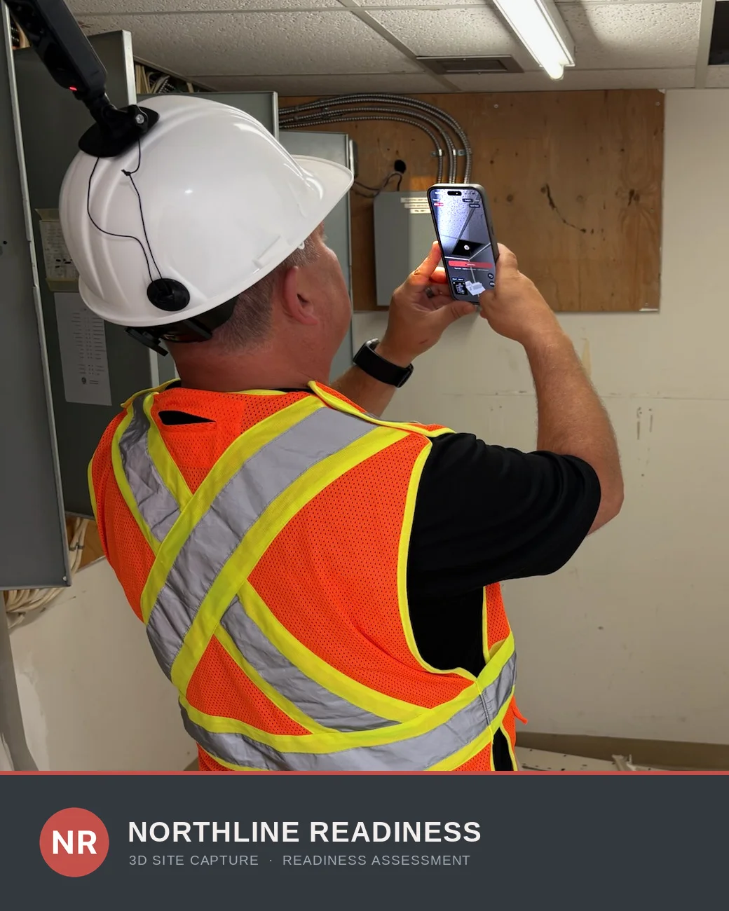
Walk the building with an iPhone and a helmet-mounted 360 camera, or fly the site with a drone.
- 02
Upload
Interior captures upload from the app. Drone flights upload from the website.
- 03
Process
Imagery becomes models, maps and measurements on Northline infrastructure — nothing leaves North America.
- 04
Deliver
Interactive deliverables land in your Northline portal, ready to share.
One capture, three ways to prove it
A SINGLE WALKTHROUGH.
EVERYTHING YOU NEED TO DOCUMENT IT.
- 01
Interactive walkthrough
Stand anywhere in the space and walk it from a browser — no repeat site visit. Every finding is pinned exactly where it is.
- 02
Measured floor plan
A dimensioned plan of the real space — accurate to the centimetre — with every deficiency numbered and placed.
- 03
Expert-verified report
A branded deficiency report your consultant reviews, sets severity on, attests, and sends — findings, photos, and plan included.
One finding, everywhere at once
TAG IT IN THE TOUR. IT'S ALREADY
ON THE PLAN AND IN THE REPORT.
Drop a pin in the walkthrough and the same finding appears on the floor plan and flows into the report — one number, three surfaces, always in sync. Click it anywhere to fly straight to it.
- 1
Walkthrough
Pinned in 3D, right where you're standing
- 2
Floor plan
Placed on the measured plan
- 3
Report
Written up, attested, and sent
Signed, not guessed
EVERY FINDING IS ATTESTED
BY A QUALIFIED CONSULTANT.
Nothing is auto-graded. A person reviews each finding, sets its severity, writes it up, and puts their name on it — the same human-attested standard behind every Northline deliverable.
DRONE CAPTURE · EXTERIOR INTELLIGENCE
SEE YOUR SITE THE WAY WE DELIVER IT
One flight becomes measurable intelligence: a 3D model of your site, the bare earth under the trees, and exactly what changed since the last flight — delivered to your portal. Canadian sites are processed in Canada. Heat surveys and vegetation health are next.
LIVE DEMOS
Ten interactive demonstrations, open in your browser, no sign-up.
STOCKPILE SURVEY
A gravel pit flown and rebuilt in 3D — then measure it yourself. Click round a pile for its volume, cut a section through a bench, read any height. Checked against a terrestrial laser scan of the same ground: 9 cm median.
Open & measureCHANGE OVER TIME
The same lakeshore laser-scanned five years apart, and every centimetre of difference mapped — ground raised or lowered with volumes attached, canopy gained and lost. Where the analysis isn't sure, it says so instead of guessing.
OpenTERRAIN & CANOPY
Laser scanning that measures the trees AND the ground beneath them in one flight. Forested Canadian Shield in Muskoka — toggle the forest away, cut a section, read any height. Our bare earth lands on the province's own ground points to a 0 cm median — under dense canopy, on points it never saw.
Open & measure3D MODEL
A photoreal, measurable model of a building complex — spin it in your browser. Built from 172 drone photos, every one placed.
OpenPOINT CLOUD
The survey skeleton behind the model, with the drone's actual flight path — how coverage is proven before we deliver.
OpenTHERMAL SURVEY
Per-pixel temperature imaging that finds electrical faults, moisture and heat loss before they become failures. Three seasons of a live solar site.
OpenVEGETATION HEALTH
Multispectral crop and canopy analysis — a whole maize field graded plot by plot, with three weeks of growth on a slider.
OpenHEAT LOSS
Where a building is losing heat through its roof — each loss located, ranked and measured against the surrounding surface. Shown with the research set's expert labels while our own detection is built.
OpenCROP & WEED COUNT
Five-band multispectral, where a weed and a maize plant separate band by band. The scene shown carries twenty maize against two hundred and thirty-five weeds — the research set's expert labels, and what our detector is being trained against.
OpenFACADE SURVEY
Cracking, peeling render and staining traced along their length on a building elevation — the whole face covered, without a ladder or a cherry picker. Shown with the research set's expert labels while our own detection is built.
Open
Demonstrations run on published public datasets, each credited on its page. Some pages show our own output and some show a research dataset's expert labels, and each page says which. Heat-loss, crop/weed and facade show the datasets' ground-truth annotations. Thermal and vegetation show our own model's detections. The stockpile survey is our own reconstruction and our own measurements. Measurements are scan-derived to support expert review — not survey-grade.
HONEST BY DESIGN
MEASURED TO THE CENTIMETRE.
HONEST ABOUT THE MILLIMETRE.
Every dimension is scan-derived and accurate to roughly a centimetre — more than enough to triage a blocked exit or a tight clearance. We print that on every measurement, on purpose. A number you can trust beats a number that only sounds precise, and when a millimetre truly matters, we'll tell you it's a job for a surveyor.
Measurement is evidence, never a verdict. The tool hands your consultant the number and the context — the consultant references the codes and makes the call.
- Clear evidence for egress width, travel distance & clearances
- The disclaimer rides every measurement, in the app and the report
- No automated pass/fail — a qualified consultant judges
Your building stays in North America, on infrastructure we control
Canadian and U.S. data residency
A Canadian site is captured, processed and stored in Canada — automatically, not on request. U.S. sites stay in U.S. regions. Either way it is our own infrastructure.
Yours alone
Locked to your team. No other client sees it, and we never sell or share it.
Never sent to a scanner
The big scanning platforms park your building on their own service. We don't.
Encrypted both ways
Scrambled in transit and at rest, from the first scan to the last report.
YOUR FIRST FACILITY, BACK AS PROOF.
Book a walkthrough and we'll show you one of your spaces captured, measured, and written up — end to end, in North America.
Book a demo